 | |||||||
|
|
| 2003 Navigator Dash | ||||||||||||||||||||||||||||||||||||||||||||||||||||||||||||
|
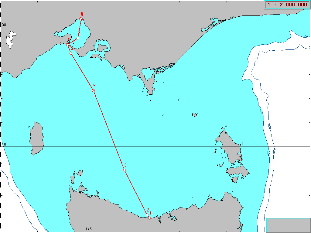
Chart for Merit Navigator - Bass Strait. Finished
| ||||||||||||||||||||||||||||||||||||||||||||||||||||||||||||
Positions
| ||||||||||||||||||||||||||||||||||||||||||||||||||||||||||||
 | ||||||||||||||||||||||||||||||||||||||||||||||||||||||||||||
|
Note: Yachts report their position by radio every 2 hours. The plot lines and any intermediate positions are estimates and might not reflect their actual course. This chart is not suitable for navigational purposes. |